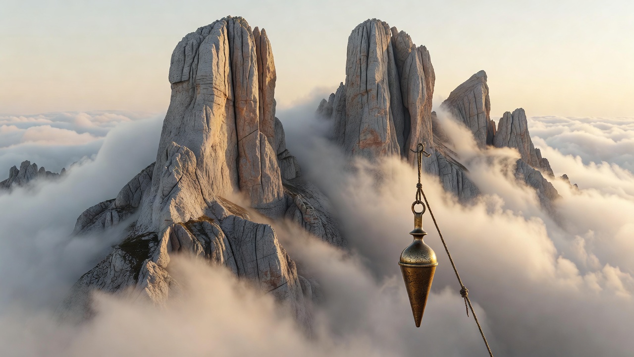
The Anatomy of the Macizo Central
Divided into three distinct massifs—the Western (Cornión), Central (Urrieles), and Eastern (Ándara)—the Picos de Europa are defined by catastrophic geological uplifts of Carboniferous limestone. Unlike the granite crags of the Pyrenees or Alps, surface water here vanishes instantly down vertical sinkholes (known locally as simas), some dropping more than 1,500 meters into subterranean abysses.
This creates a paradoxical environment: high precipitation driven by Atlantic cloud systems meeting sheer, moisture-deprived stone plains. Hikers navigating between Refugio Delgado Úbeda (at the base of the iconic Naranjo de Bulnes / Picu Urriellu) and Refugio de Cabaña Verónica (a shelter constructed from the recycled gun turret of an aircraft carrier) must carry every deciliter of drinking water across eight-hour scrambles.
The Roadless Isolation of Bulnes
Until 2001, the mountain hamlet of Bulnes possessed no vehicular link to civilization. Access was strictly restricted to a treacherous two-hour scramble through the Canal del Tejo alongside the river Cares. Even today, though a subterranean funicular penetrates the rock from Poncebos, the village retains its strict, stone-slab architecture, free of wheeled transport.
The inhabitants preserve a centuries-old pastoral rhythm, herding Latxa sheep and goats across high summer alpine pastures. The local Cabrales cheese is matured inside damp caves colonized by Penicillium roqueforti, yielding an earthy, pungent profile entirely distinct from commercial approximations.
Navigational Perils: The Dreaded Niebla
The primary natural hazard within the high massifs is the niebla—a dense sea fog that rolls in from the Bay of Biscay in less than fifteen minutes. The fog blinds topographical visibility to under three meters, erasing visual cairns across featureless gray karst pavements riddled with unmarked drops.
Experienced mountaineers rely on calibrated magnetic compasses and altimeter tracking rather than consumer satellite networks, which often suffer severe multipath distortion inside vertical rock amphitheaters.
Practical Field Specifications
| Waymark | Elevation | Water Source | Terrain Character |
|---|---|---|---|
| Poncebos Gorge Portal | 218m | River Cares | Packed gravel riverbed |
| Bulnes de Arriba | 649m | Village fountain | Rough cobblestone slabs |
| Collado Pandébano | 1,212m | Seasonal spring | Alpine grassy slope |
| Vega de Urriellu | 1,960m | Refugio piped tap | Jagged limestone scree |
| Cabaña Verónica | 2,325m | None (carry reserve) | Exposed karst plateau |